Sea & Code
The intersection of two passions: years of sailing, weather routing and surf forecasting, and software development. A surfer and a maritime-forecast enthusiast, that obsession turned into code in Las Olas (a surf forecast engine) and La Marea (a real-time tide clock). My own ideas, taken end to end and kept running in production. Try the live ones below.
Sailor and developer
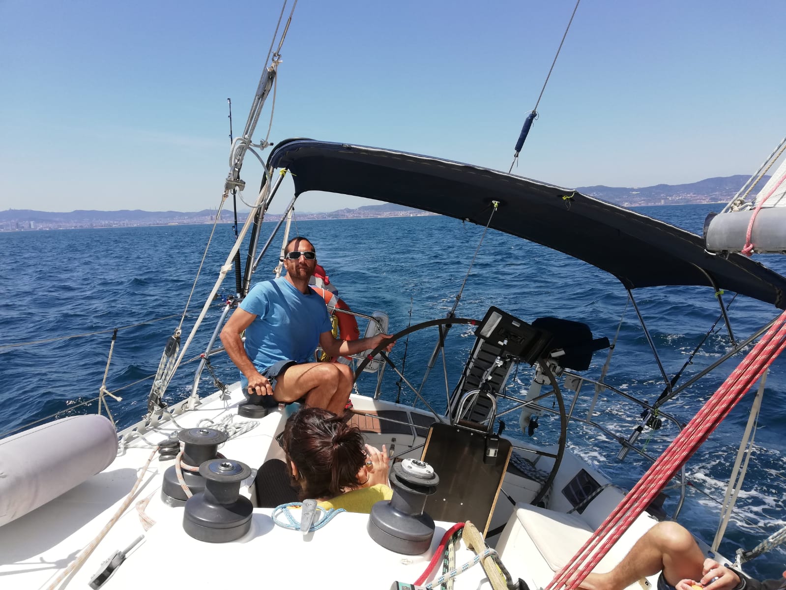
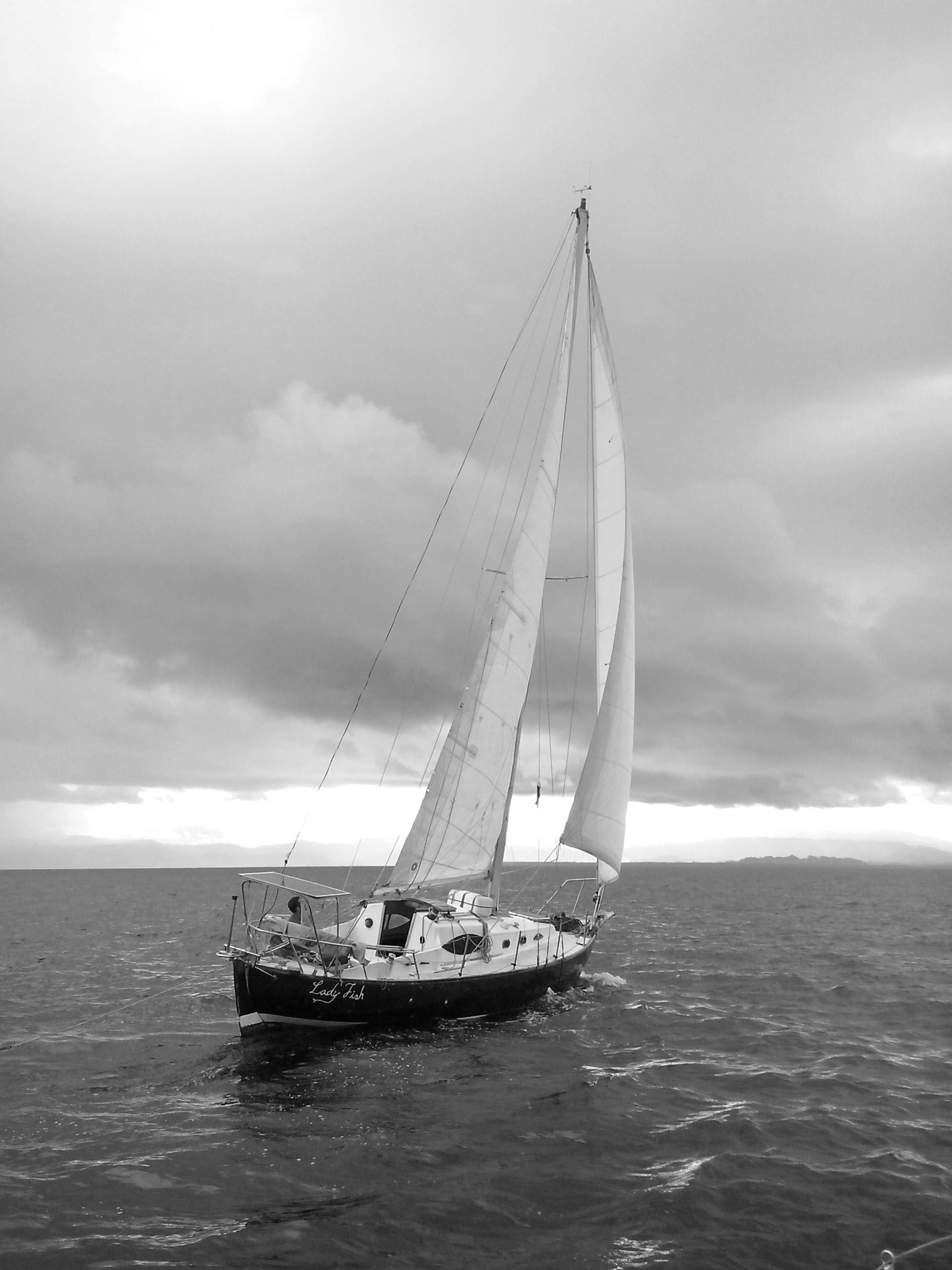
I'm a computer engineer and, above all, a deeply self-taught person: I learned much of what I know on my own, through first-hand experience and from other experts along the way. A self-taught surfer and sailor, the sea is my other passion: I had my own sailboat and lived sailing the Caribbean, much of it by wind alone. That's where I learned to read the weather for real —weather routing, weather models and the patience to wait for the right window—.
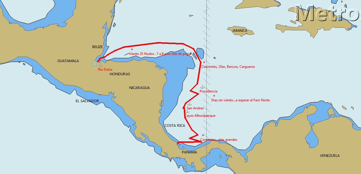
I'm passionate about navigation and plotting software —OpenCPN, GRIBs, nautical charts—. I lived it first-hand crossing the Caribbean and the Atlantic, as captain of my own boat and as router for other vessels; I even built custom raster charts and looked after the onboard electronic and navigation systems.
Today those two passions meet in the code. Years of fixing things with whatever was on hand —far from shore, where you can't wait— sharpened my creativity and my ability to solve problems under pressure, and I bring that to every project. These projects are that fusion —the sea, between navigation and surf forecasting, and software development—: a clearer, more intuitive way to read the data, visualize conditions and understand how the waves are coming.
Recent applications
Apps I built and currently keep running in production. Try the live ones below.
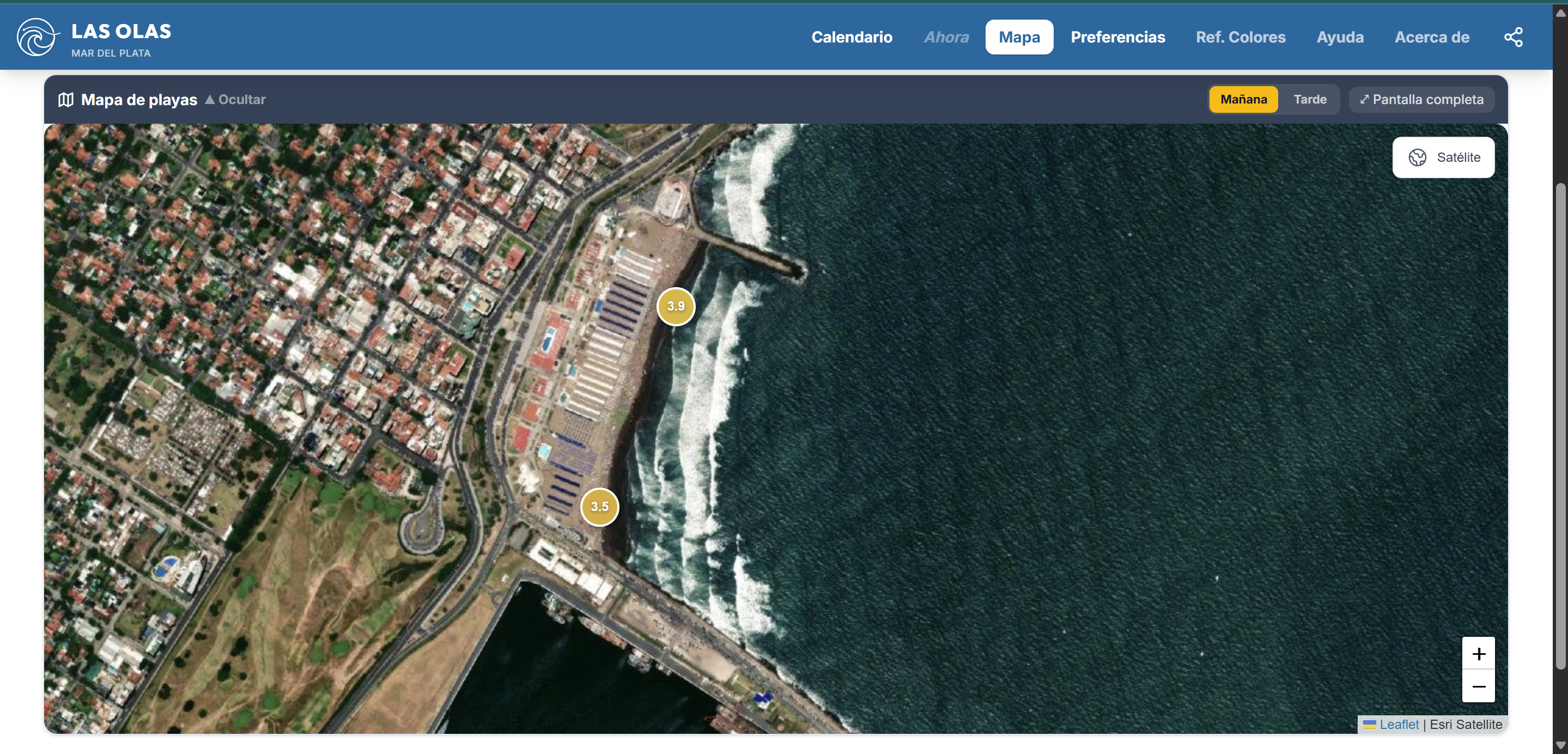
Las Olas — Surf forecast engine
Processes NOAA's global wave model (NCEP GFS Wave 0.25°) through a custom per-beach formula: a 0–10 score per hour and spot, blending forecast and live measurement. International apps don't capture the local logic —beach orientation, swell arrival window, refraction, optimal tide range, wind-shelter geometry— so this app models those variables explicitly.
- Multivariable scoring engine: directional exposure, Snell refraction by wave period, H²·T energy normalized by break type, directional wind with gust resilience, asymmetric tide bonus/penalty and close-out detection.
- Hybrid forecast + live measurement for the "now" ranking: model wind is replaced by station readings when fresh, with a smart fallback when stale.
- Cache layer + fallback chain on the wind source, with transparent staleness flags (stays within free-tier quotas and keeps serving during upstream outages).
- Standalone worker (separate container) for local weather stations plus the official tide gauge from the Argentine Naval Hydrographic Service (SHN).
- Internal sandbox for tuning formula weights per area, with live preview against historical data.
NestJS · React 19 · Vite · Tailwind v4 · Workbox · Docker
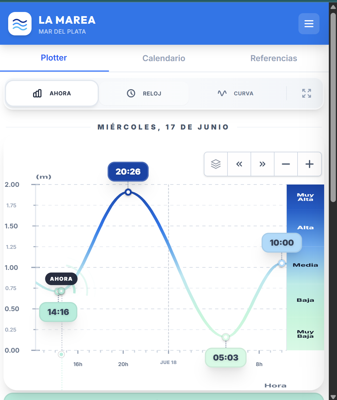
La Marea — Real-time tide clock
PWA that shows the tide on any browser screen (phone, tablet, notebook, Smart TV, even a smartwatch). It connects live to the SHN tide gauge and overlays the real measurement on the astronomical prediction, so you instantly see how much water a storm surge is pushing in —or how much an offshore wind is draining out.
- Three views of the same data: Digital (infographic with trend & next event), Analog (barometer-style tide clock for fullscreen) and Curve (traditional chart with daylight band).
- Multi-day calendar, sun & moon, night mode for always-on screens and background sync.
React · TypeScript · Vite · NestJS · Workbox
Earlier work at sea
Where it all comes from: years of cartography, navigation and onboard systems.
Nautical charts & OpenCPN
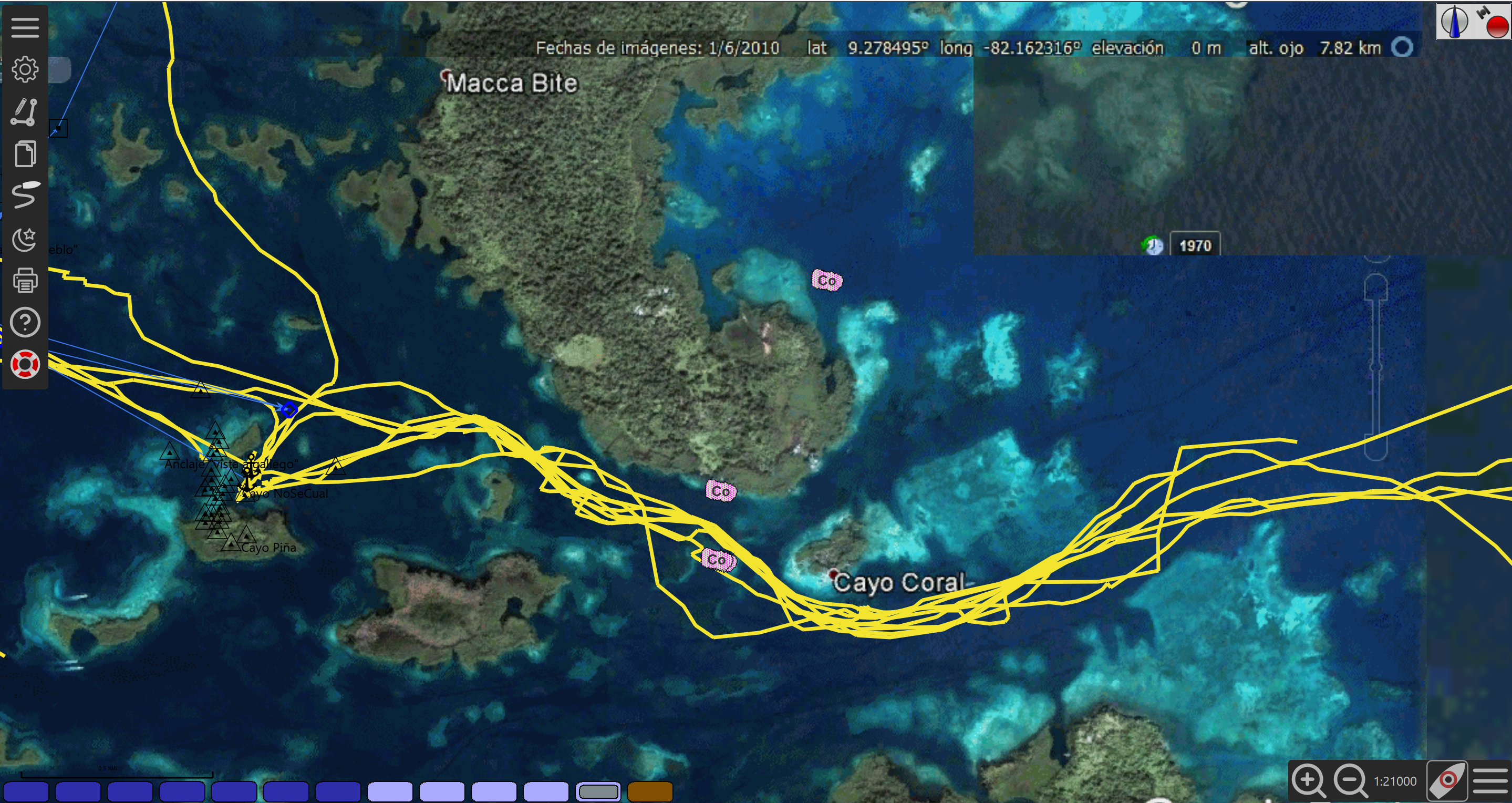
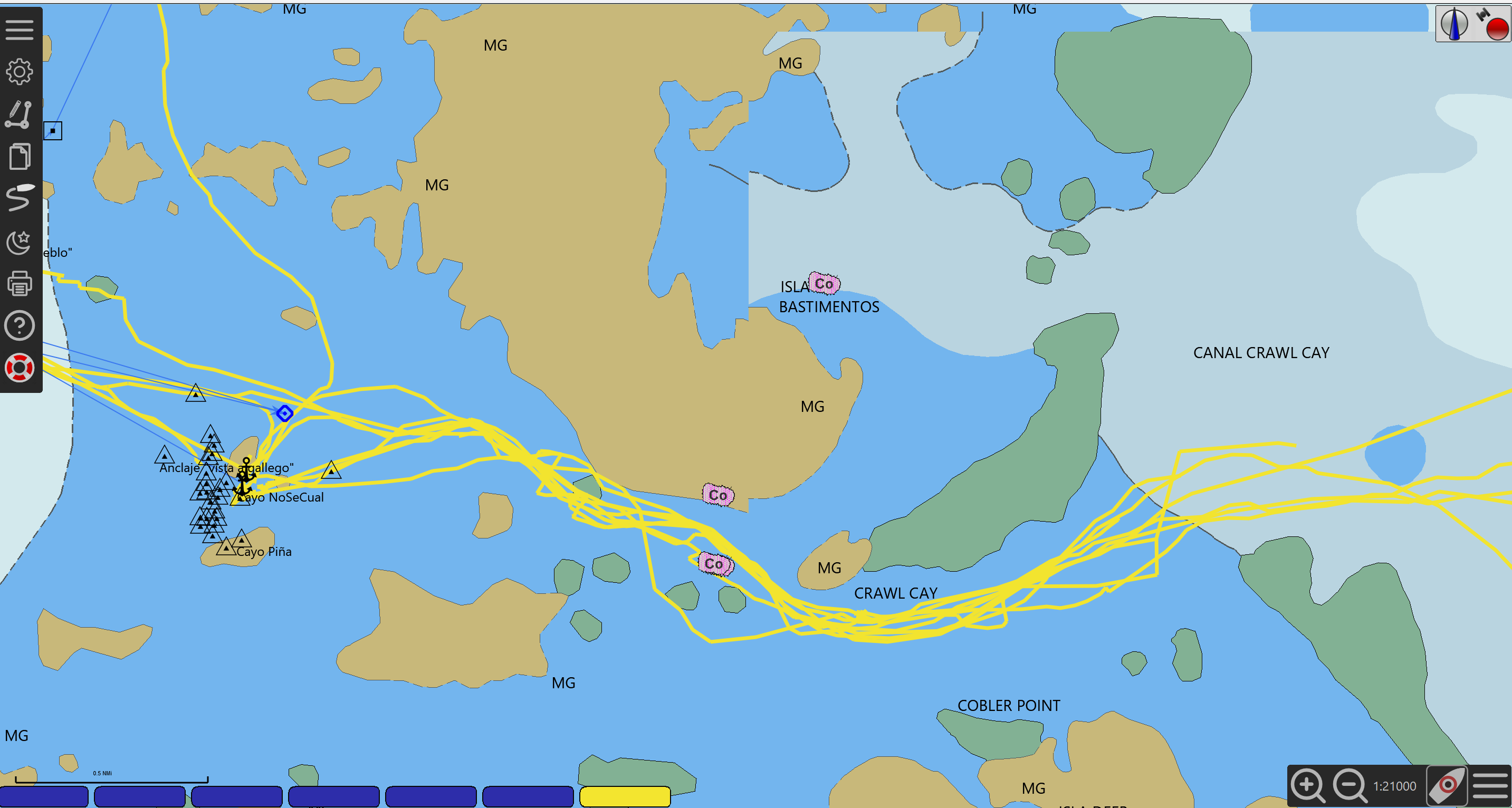
Between 2011 and 2017, where there was no reliable cartography, I made it: I turned satellite imagery into georeferenced raster nautical charts, combining third-party tools with my own scripts, ready to use in OpenCPN. They were key in places with no connectivity like the Bocas del Toro archipelago —back when Starlink didn't even exist— to move among reefs and shoals where official charts fell short. I even started a business selling these custom cartography solutions. I also worked with vector charts and programmed an OpenCPN plugin.
For weather routing I used GRIB files and several weather models. I integrated OpenCPN with the onboard instruments over NMEA protocols and WiFi/Bluetooth connectivity to external peripherals, plus satellite communication via Garmin inReach.

Onboard electronics & power
I worked with critical onboard navigation, electronic and electrical systems, including Raymarine's proprietary network (SeaTalk / SeaTalkng and SeaTalkhs/RayNet), and with marine power —solar and wind— where autonomy and reliability matter as much as navigation itself: far from shore, every system simply has to keep working.
Over the years I gained a very specific know-how of recreational sailboat systems. I crossed the Atlantic as the engineer in charge of all the boat's systems, and worked as support solving complex electrical faults, leaning on my engineering background and a lot of logic. I also built custom plotter setups with open-source software running on Android tablets.
Many times I solved things with whatever was at hand: at sea or in remote places, you can't wait. Those years of improvisation and ingenuity boosted my creativity and my ability to solve problems under pressure.